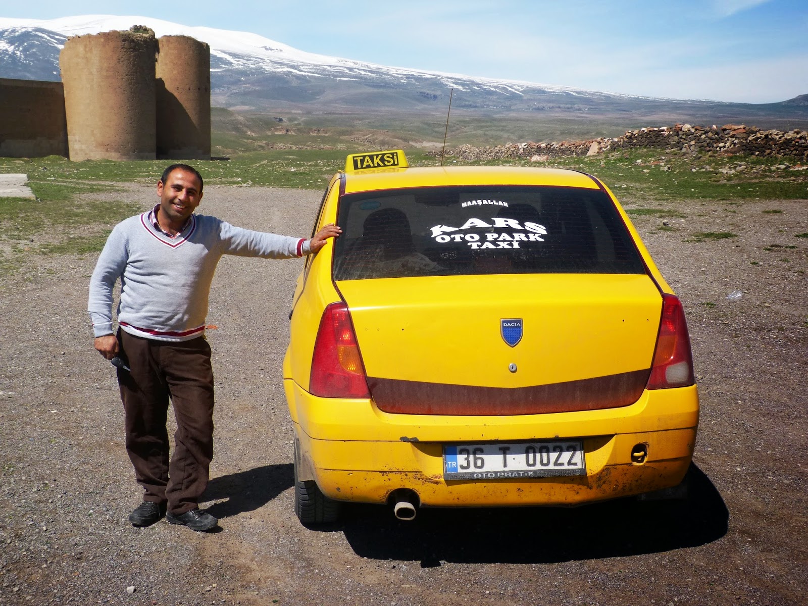
The main tourist attraction for Kars is the ruined medieval Armenian city of Ani that lies about an hour's drive to the east of Kars. The hotel owner arranged a taxi to take me out there for about $50. I am quite sure the taxi driver only got a fraction of the money.

The driver had a little English and after leaving the potholed streets of Kars, we were soon on a wide road with two lanes in each direction. It was not the best of roads so occasionally the driver had to slow down a lot.
We reached Ani and the driver told me I could have two hours.

Huge mountain on the Armenian side of the border and no, I could not see Mount Ararat which is a good ways to the south. However, as we drove over a hill on the way to Ani, I saw a much bigger mountain off to the south which I suspected might have been Ararat. I asked the driver the name and he replied something that sounded like 'Chewy'.

This page snip from Google Earth of Ani gives an idea of the layout.
The yellow marks the border between Turkey and Armenia. It is essentially a river at the bottom of a deep gorge. The city lies on a plateau surrounded on three sides by gorges. The entrance is at the north and I walked a clockwise loop. At the southern tip is an old fort on a hill.

City wall at the northern entrance. At its peak, Ani probably housed over 100,000 people.

More city wall to the west.

Entrance. There is a small fee.


There is not too much information at the entrance, so I just turned left and headed off.


The site is surrounded by a fence, but there is a gap where the cows can come through. And yes, they were passing through as I arrived.


Turkish watch tower.


It definitely is a ruin.


The whole plateau is strewn with debris.


Stones for the oil press. I get the impression that most of the conservation effort goes into putting found objects into a suitable location.


Church of the Redeemer, completed in 1035.


At least some of the stones are protected.

Supporting structure. A fence stopped you getting close.


You can walk down and into the Turkish Bath.


It looks like the sauna section.


To the right of the river is Armenia. Turkey on the left.


The Armenians accuse the Turks of neglect of the ruins. The Turks claim the blasting from the quarry across the river in Armenia has caused damage.


Walking down to Tigran Honents. One the back up, I realized that the altitude is about 6000 feet and therefore not as easy as you might think. I huffed and puffed.


A rarity. A fresco in Turkey with a recognizable face.

She was spared as well.


Apparently this is where the Silk Road came to Ani. I walked along it for a while down the hill then realized I would have to come back uphill at this high altitude so I turned around.


The Cathedral, completed about 1000.


Lightning caused the crack.


The crack caused by lightning. Parts of the building were also damaged by blasting from the nearby quarry in Armenia.


The facade may look strong, but what is inside looks dodgy to me.


At one time it was used as a mosque when Turks were briefly in control about 100 years after it was built, but it then became a cathedral again.

I continued on towards the Mosque of Minuchihr.


The bridge in the gorge below the mosque dates from the 10th or 11th century. Visitors are not allowed to go down there.


The position of the mosque is truly dramatic overlooking the river.


A collection of what would have been houses.

You see this sign outside all military installations. Apparently the area was recently part of a Turkish Military Zone.

The path to the Castle.


Looking up at the Citadel.


I thought the Convent of the Virgins referred to this pile of rubble but apparently I missed this further down the hill..

The path to the Citadel gets narrow with a significant drop on one side.


Part of the Palace Church at the Citadel.

View along the gorge that separates Turkey from Armenia.


Turkish flag at the summit.

View from the top looking north.


Armenian guard house.

The Church of Saint Gregory.


The Caravansary or the Apostles Church.


It is probably the most interesting of all the buildings.


The path led to King Gagik's Church.


The circular shape remains.


Old graffiti.


Part of the Zoroastrian Fire Temple, perhaps the oldest religious structure at Ani.


Yet another wall that is held up by supports.

My two hours were almost up so I did not visit the north-western wall area.

Tower by the Lion Gate.
The whole place is not really set up well for tourists and if you go, bring your own map and tour book.

We headed back to Kars. There was little traffic and the driver weaved all over the road to avoid bumps and potholes.

Classy steering wheel and gear stick covers.

And of course, the glove box caught the eye.
Sometimes when I plan a trip I wonder if doing a detour for yet another site is worth the trouble. In this case I am very glad I visited Ani. When you are wandering around this vast deserted site covered in rubble and you realize that a hundred thousand people lived here at one time and all that left are a bunch of ruins and a magnificent location, then you know why you came.
No comments:
Post a Comment